Puerto Rico Earthquakes 2019 - 2020
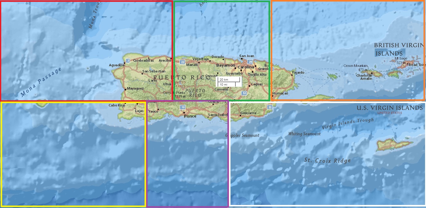
In statistics there are several algorithms known generally as cluster analysis that group items by a measure. I imposed one artifical constraint that the cluster boundaries should tile the plane - no gaps and no overlaps. Even though we live on a sphere we are mostly acclimated to use two-dimensional (flat) maps with more or less Cartesian coordinates, so the cluster boundaries were coerced into being rectangles that used longitude and latitude. Note that the rectangles did not have to be congruent. I ignored depth when calculating the distance between two points as I distrust the depth data even more than usual. The idea was to calculate the clusters based on data from the period 1910 to 2019 and hope that 2020 was similar.
| Earthquake predictions and tracking click here |
| Return to the Earthquakes page |
| IMAGSTS Home page |